


Kosovo
URBAN DESIGN COMPETITION
Site Gjakova (KO)
Year 2015
Europan Europe E 13
How to transform physical obstacles into new connections?
CONCEPT
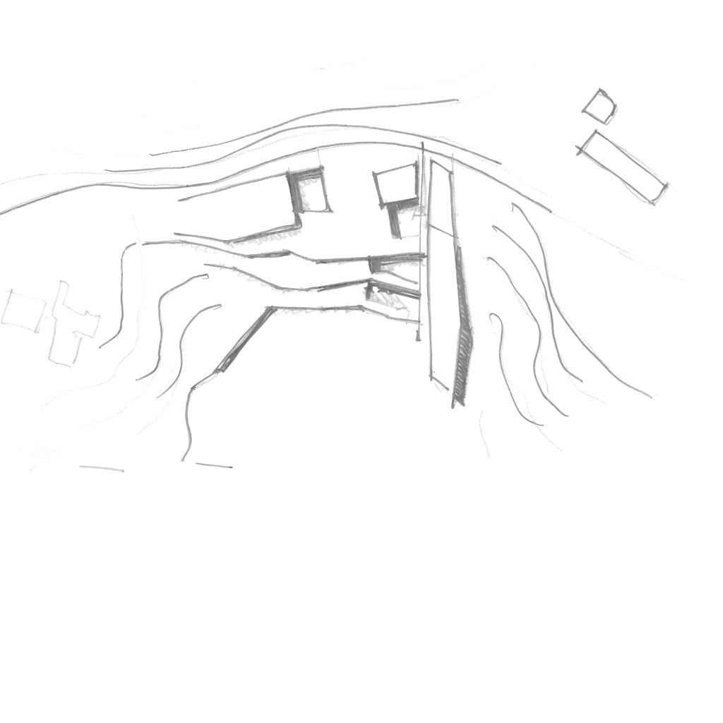
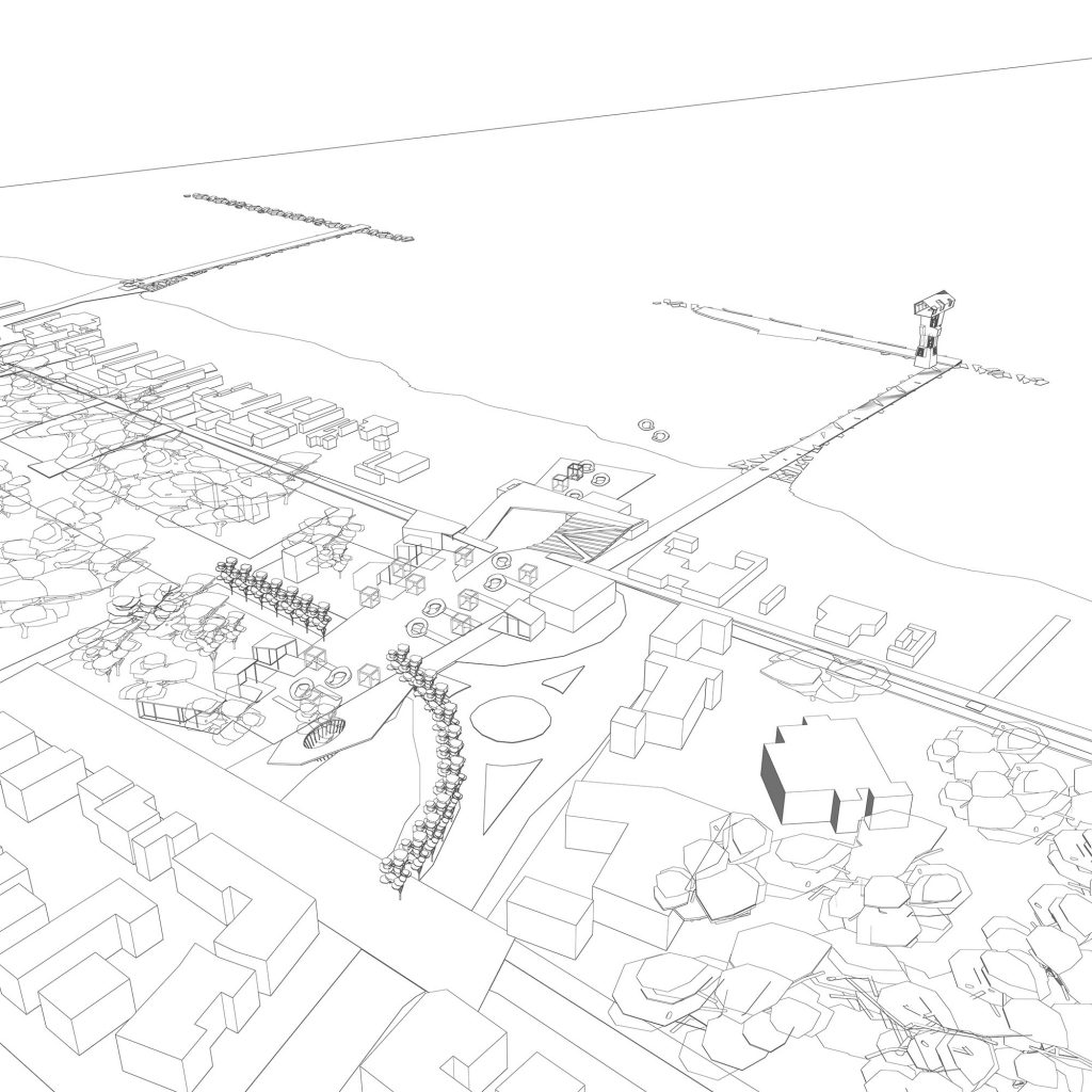
The project aims at the reconnection of the different scales of Gjakova. The existing river, the Krena, has allowed, throughout years, the development of two morphologically different settlements; the first one is organized following the site’s topography while the second follows more geometrical and “modern” rules. The in between river, the lowest line amongst the two settlements, now can play the role of finding a synergy between different realities that can’t be seen as independent.
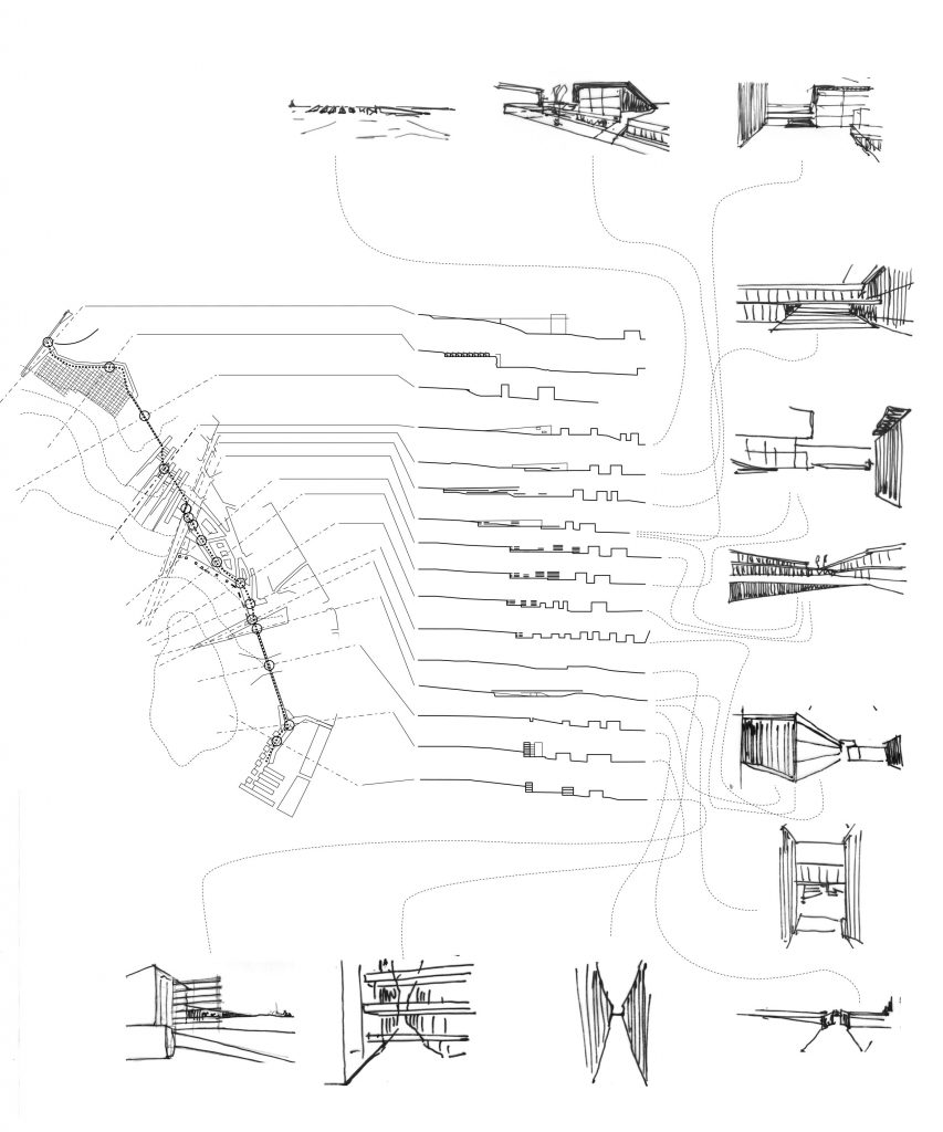
The proposal sees these three lines, the historical, the modern and the landscape/river as sets of parallel scenes to be organized in a montage/screenplay capable of giving value to all the different characters of the city. In this sense it aims to link, find a dialogue and alternate wide vistas with narrow spaces, different fabrics and orographic features, high and low points, continuity and discontinuity, close and far, existing and new ground/landmarks.
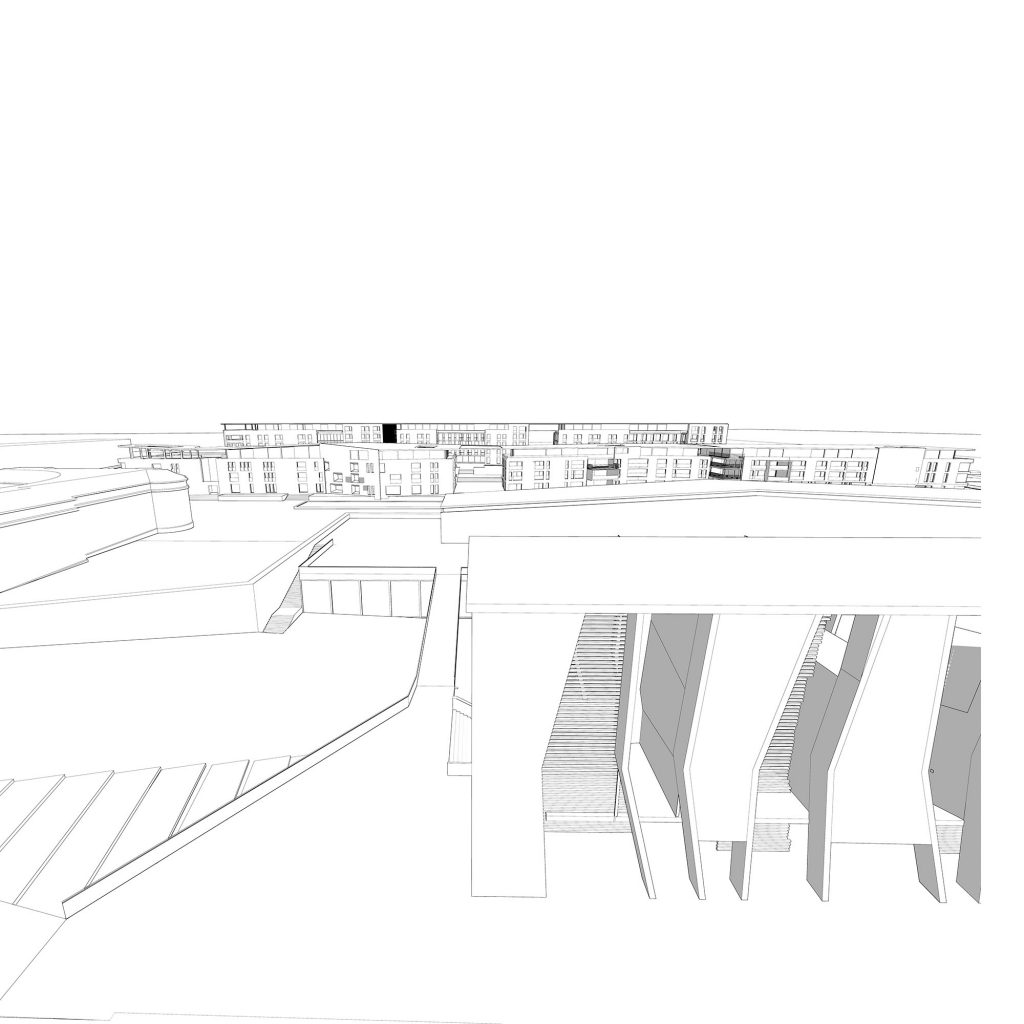
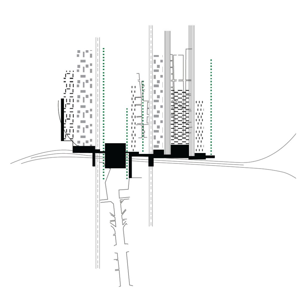
The historical settlement is characterized by a strong set of blocks that from the line of the Bazaar spans to the river. This morphology cannot be described with the classical categories street- square; it is more a continuous system of narrow and wider spaces, a complex patterns that generates urban pockets were different paths meet. This complex spatial system organizes a network of local realities and particular characters. The project listens and gives values to this complex pattern looking for a larger framework capable of making them become an active part of a larger settlement without losing their identity.
The modern city is organized there along a street and two urban backdrops. A line that has some visual and tactile discontinuities that can work as terraces/dialogue point with a wider system.
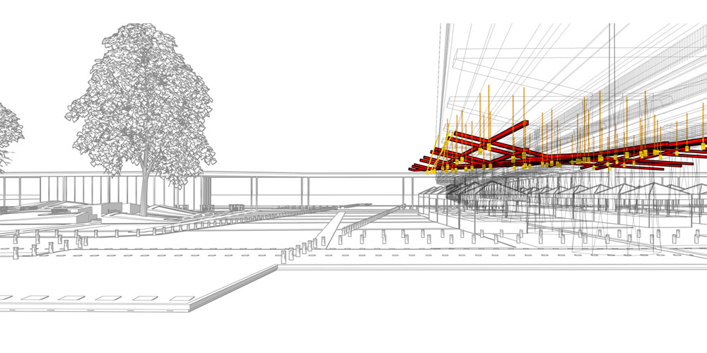
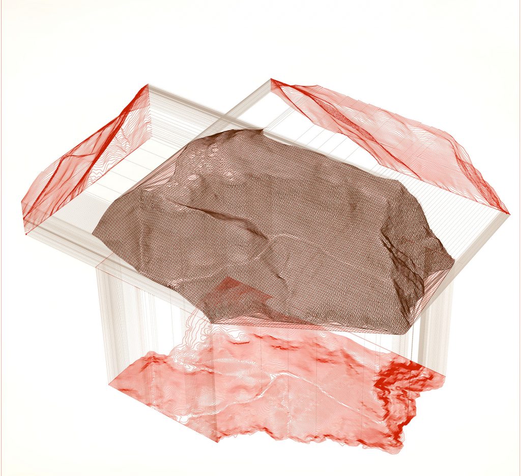
The earth, the physical substratum of this and of any site has played an important part in the design strategy. The listening to its characters brings us back to a shared knowledge that gave shape to many European settlements that are now the core of wider urban areas. It is not only a matter of heritage, of finding a dialogue with an existing urban fabric; it forces us to think about human scales and measures that the modern and the contemporary city has to often forgotten. In this sense parametric design has been used as a sort of “strategic mapping” of the ground in order to evaluate its own features such as inclination and curvature and from this to define lines.
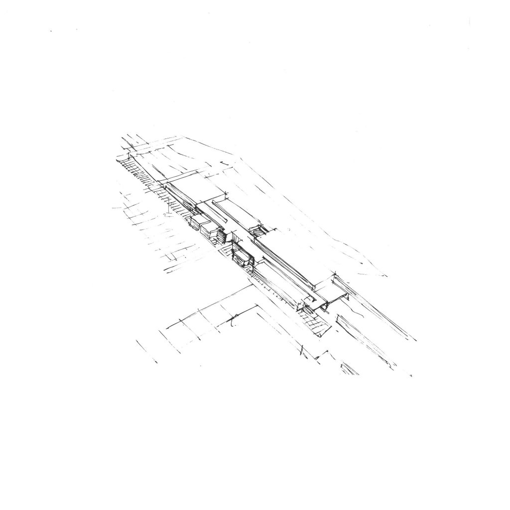
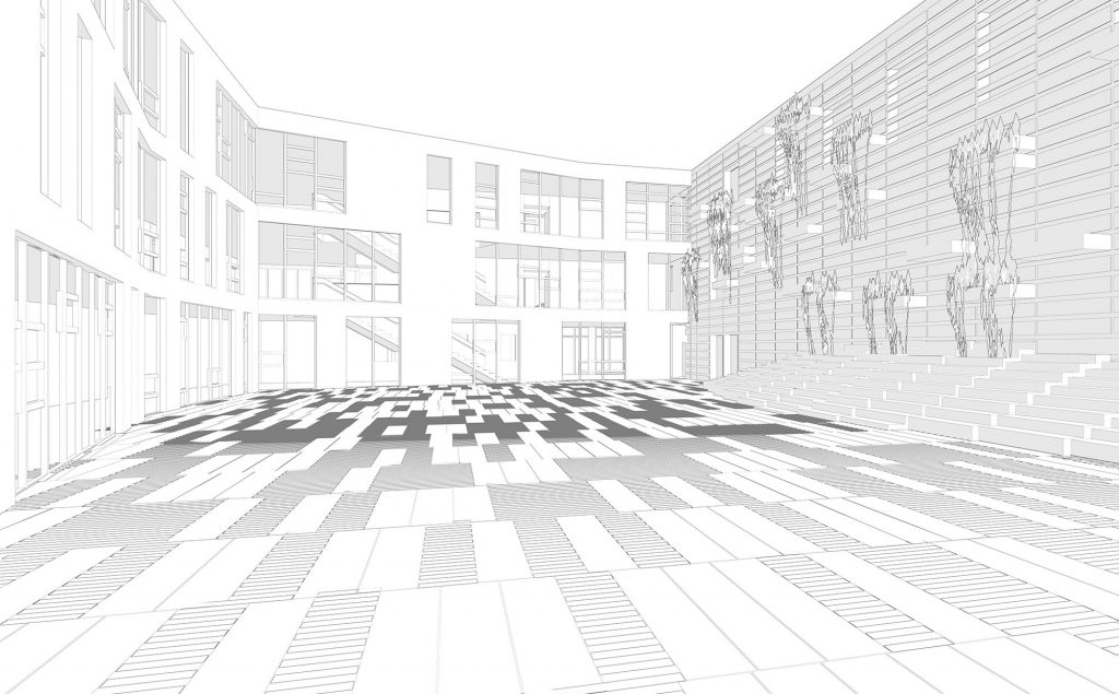
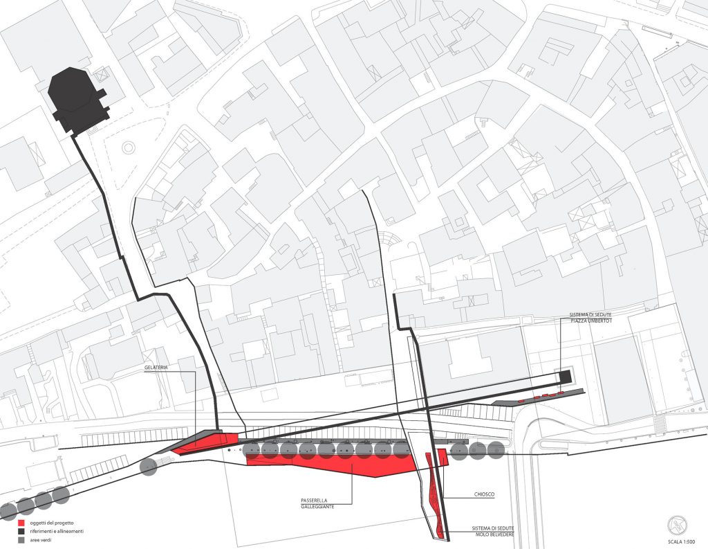
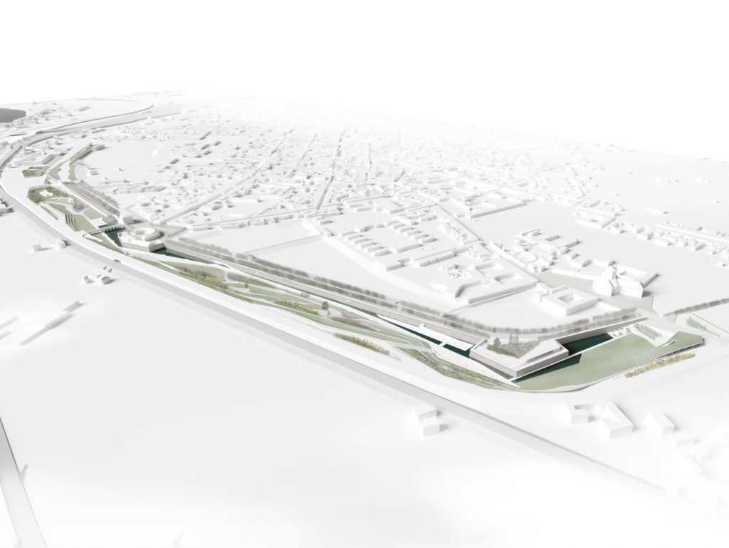
In this sense the riverfront, that currently is the leftover space between the two cities, or at least the two different scales of the Gjacova, might work as the contemporary public space that gives value to the existing realities.
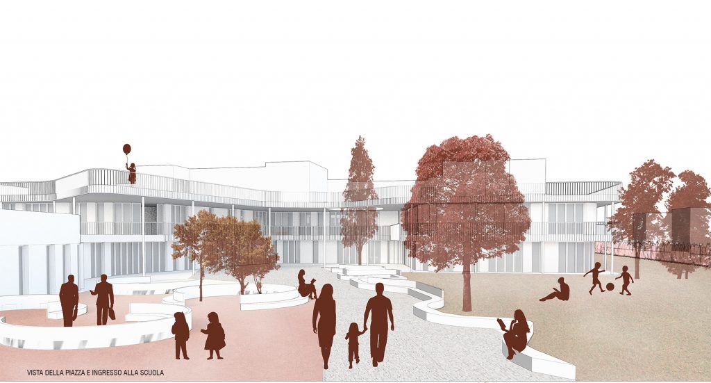
The riverfronts are seen as a combination between a continuous space and small elements – pockets that refer to the scale of the existing fabric and mark a rhythm and a human measure along a natural line. These pockets are designed in order to define new connections (of vistas and of paths) between existing elements. The park along the river is seen as Hybrid of different figures of public spaces that in this sense can host different ways of inhabiting it and at the same time find different characters and identities.
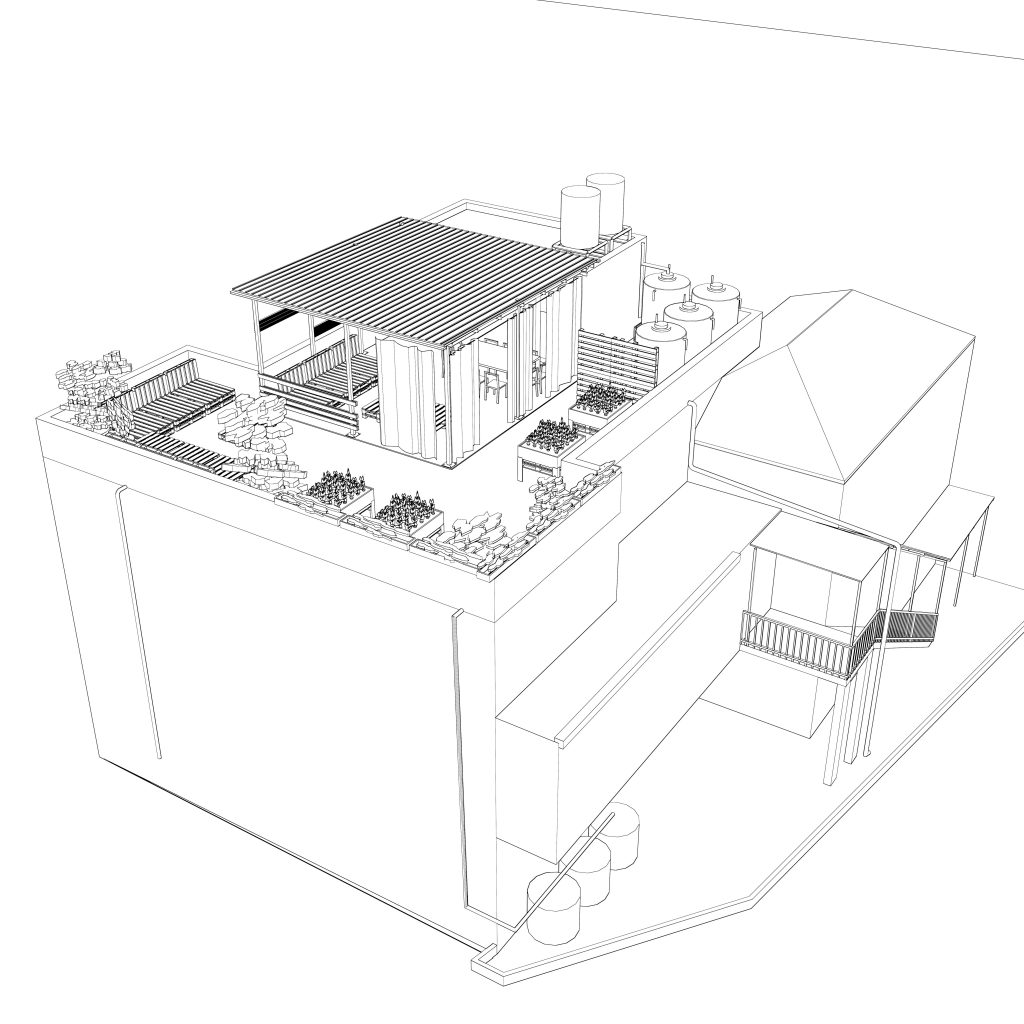
Programs
The design area is more than 1 km long. It seems fundamental that some public functions will be integrated with the design in order to reinforce the idea of public connection/space that the riverfront will acquire. They will have the value of landmarks/displays of a deeper backdrop for the existing city. It is possible, in this context, only to suggest a set of different functions: Infopoint/Urbancentreto promote local events and small art exhibitions, a Gymnasium, a place related to religious activities, a library bookshop, cafeterias…