URBAN DESIGN RESEARCH (Ph.D)
Queens (New York)
Year 2005-12
With: Carlos Dall’Asta (1st stage)
CONCEPT
This exercise develops an experiment initiated at a seminar/workshop organised by the New York Institute of Technology and the PhD School of Architectural and Urban Design of the Politecnico di Milano.
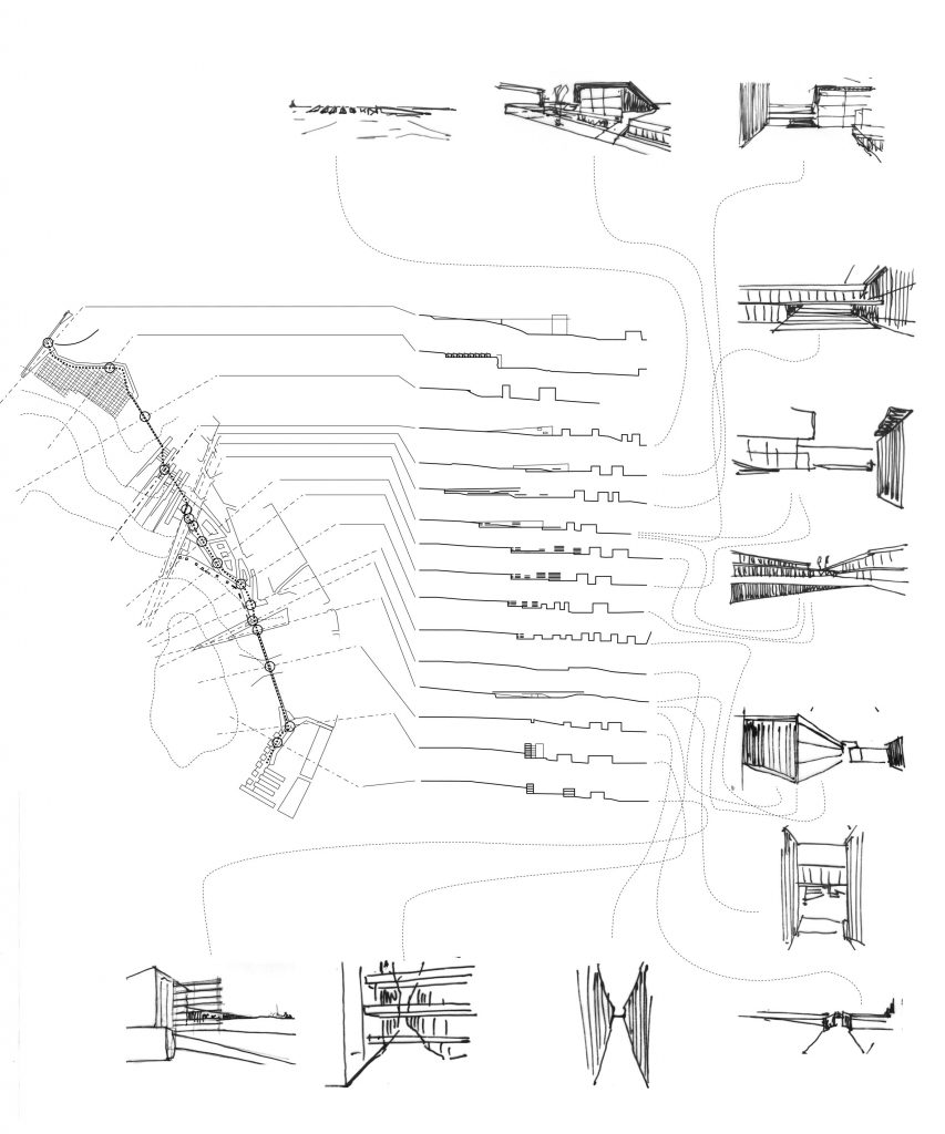
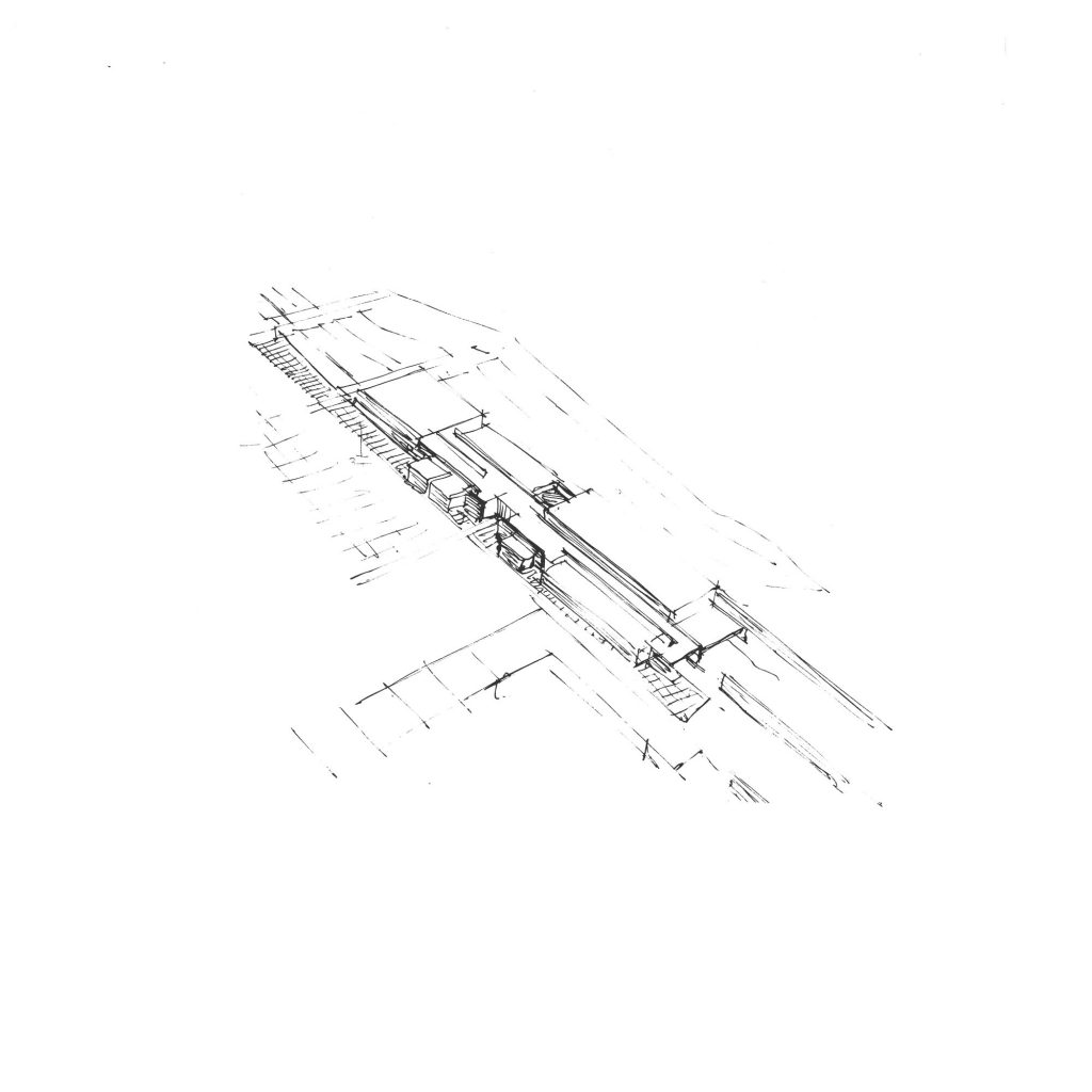
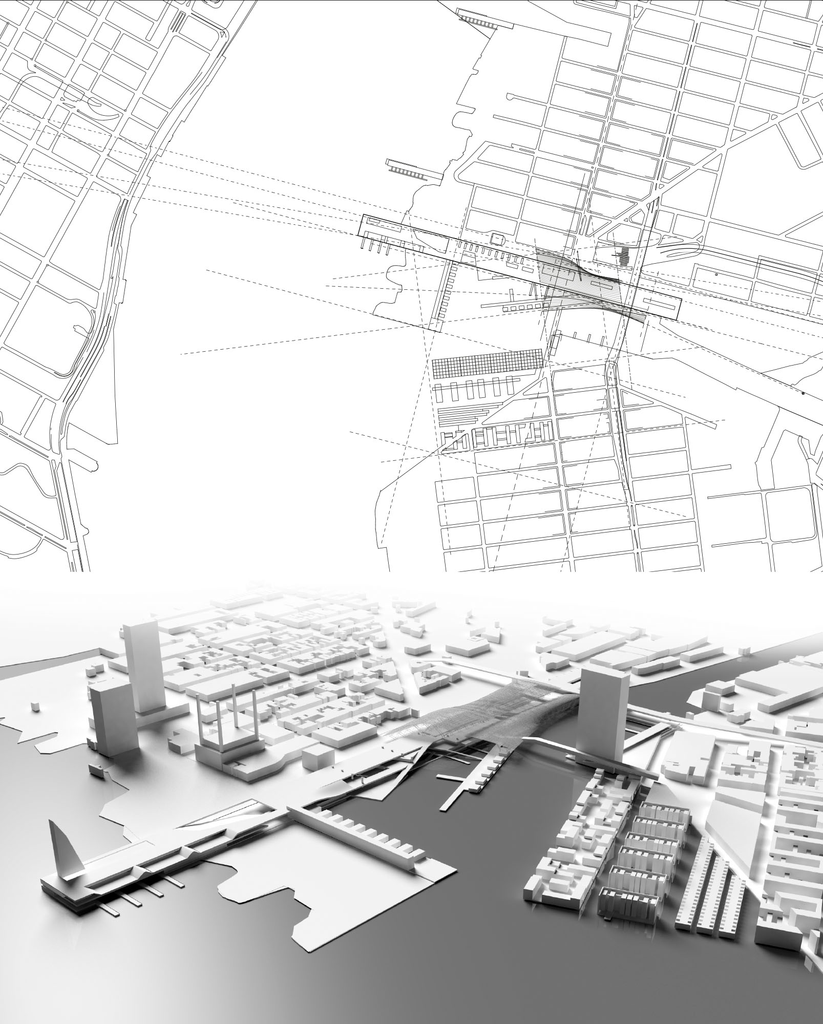
The initial design proposal conceived with Carlos Dall’Asta addressed the issue of architecture as infrastructure for the different scales and measures of the city.
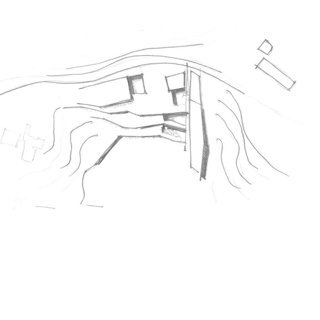
The urban dimension reading started from the peculiar inflection of the Cartesian system represented by the Manhattan grid. It is organised based on avenues and streets where the former have a larger dimension and a public, commercial character while the latter have a more residential and intimate quality. Broadway, the historic geographic trace developed according to physical and “tactile” characters, intersects the planned and “abstract” grid and defines some of the most important places and landmarks on the Island.
The rhythm defined by the distance of these points constitutes an intermediate measure (still at the human-pedestrian scale) between the territorial dimension and the local represented by the block-cell. Facing the famous Manhattan skyline, the matrix generated by these overlapping measures and traces is used as a code to imagine an urban intervention between Brooklyn and Queens. From the synthesis of geography, geometry and history, comes a proposal that attempts a dialogue between the different scales and measures of the city.
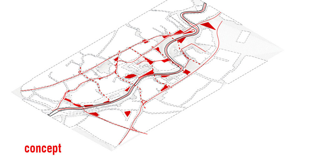
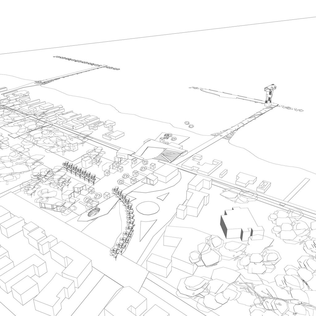
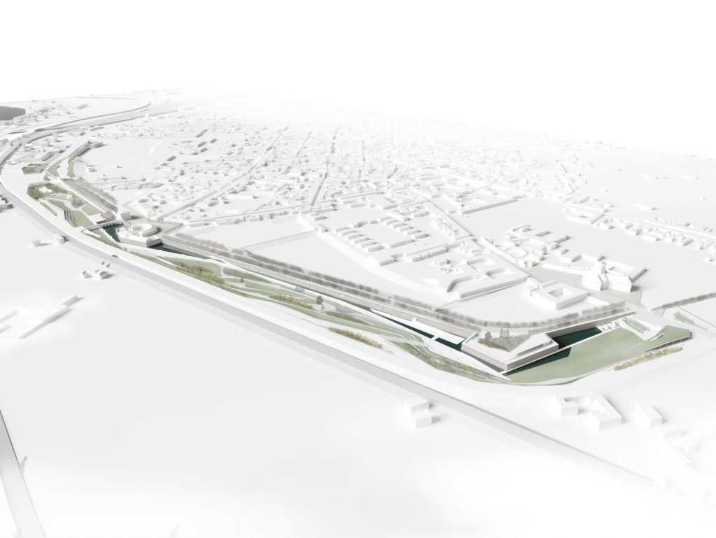
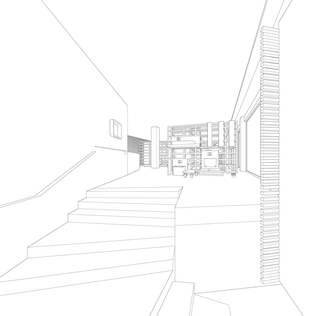
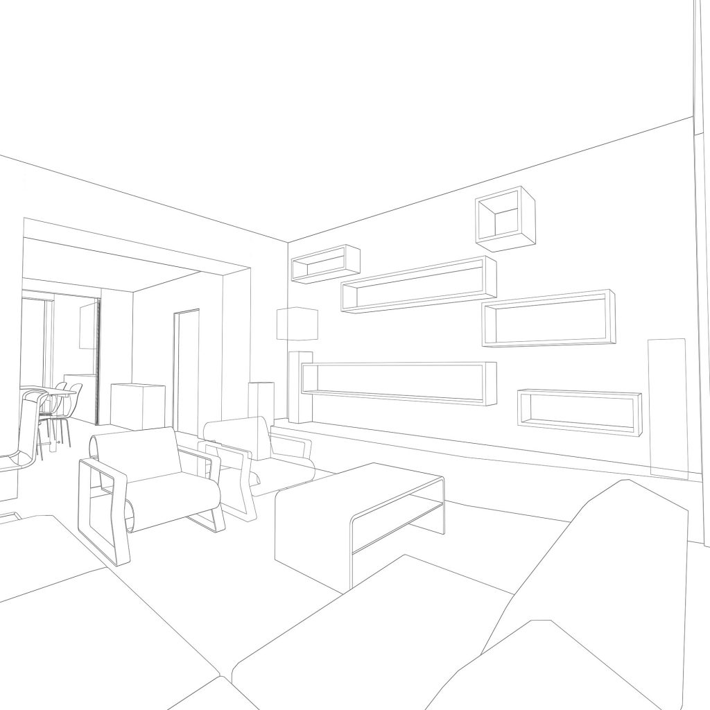
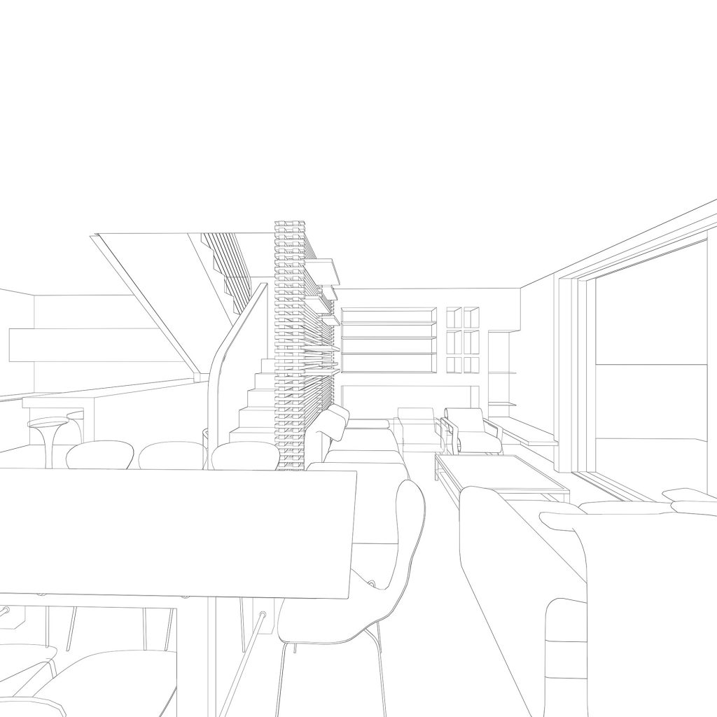
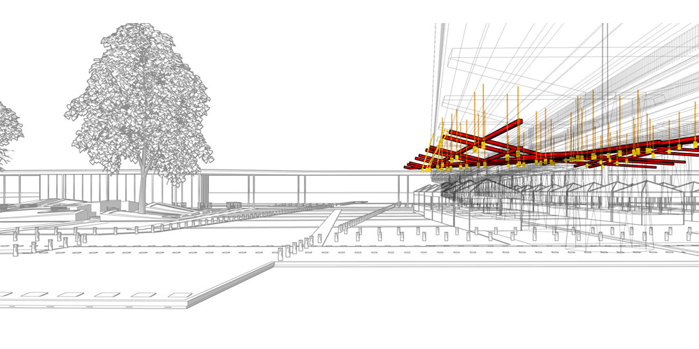
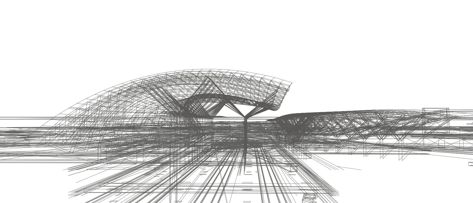
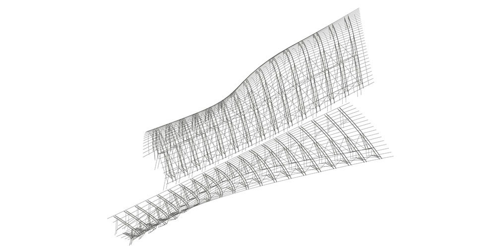
The design focuses on an infrastructural hub able to connect the two districts with a public space that faces the skyline of Manhattan. The design further developed the idea of mathematical curves as elements able to construct this clash as a set of rotated asymptotes and hyperbolas initially aligned with the existing urban grids.